Henley Whalers - Annual Long Row - 2017
Version 12/10/17
This will be the last before the event.
Any further correspondence by email/phone

Henley Whalers - Annual Long Row - 2017 | Version 12/10/17 |
|
|
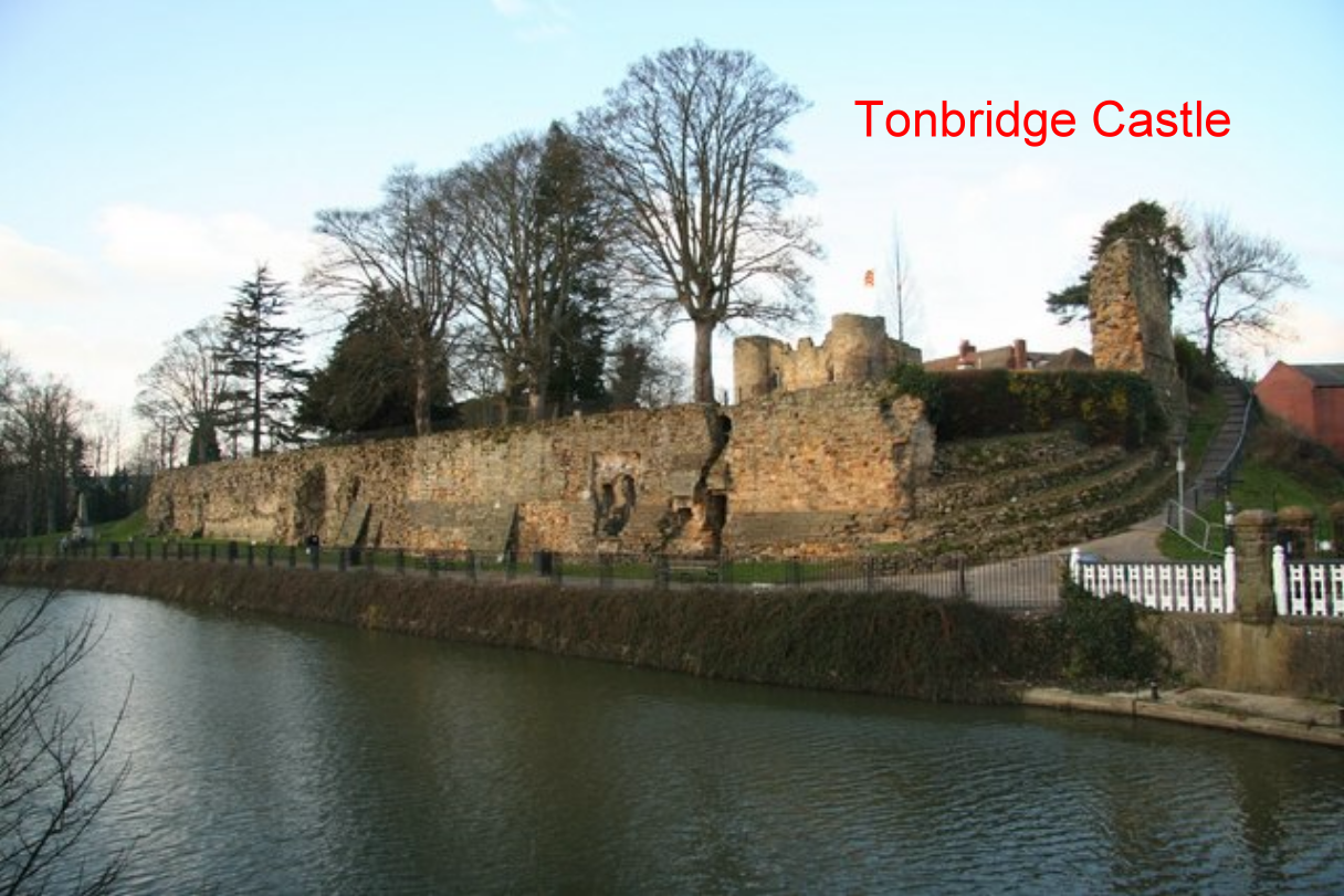
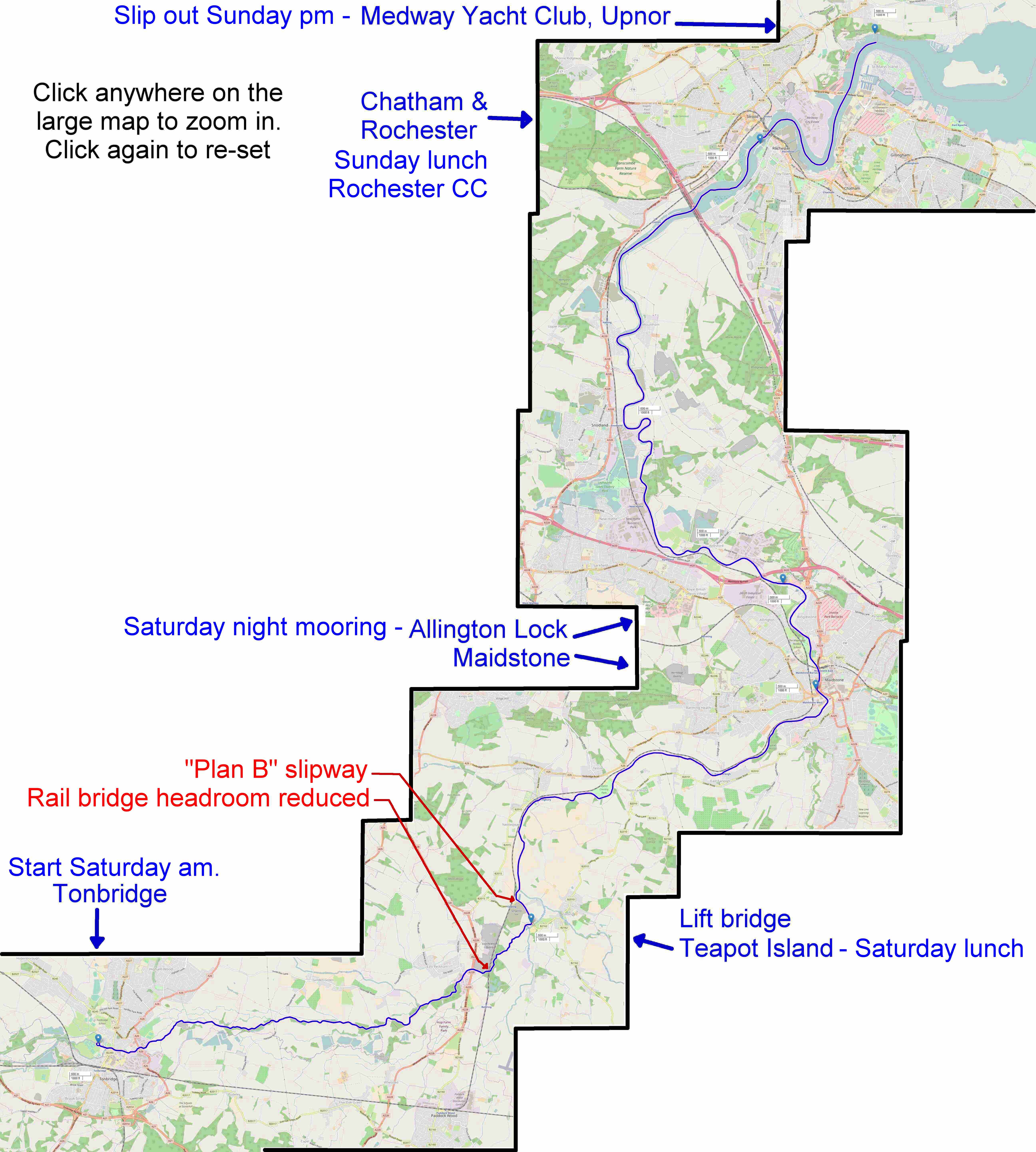
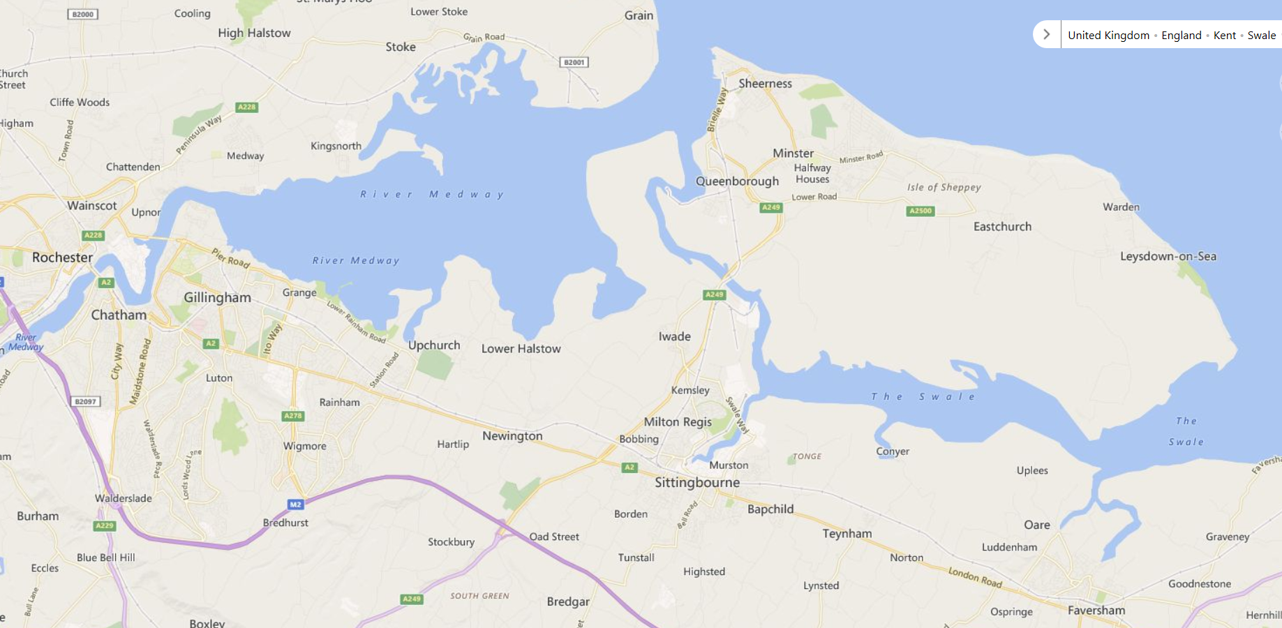
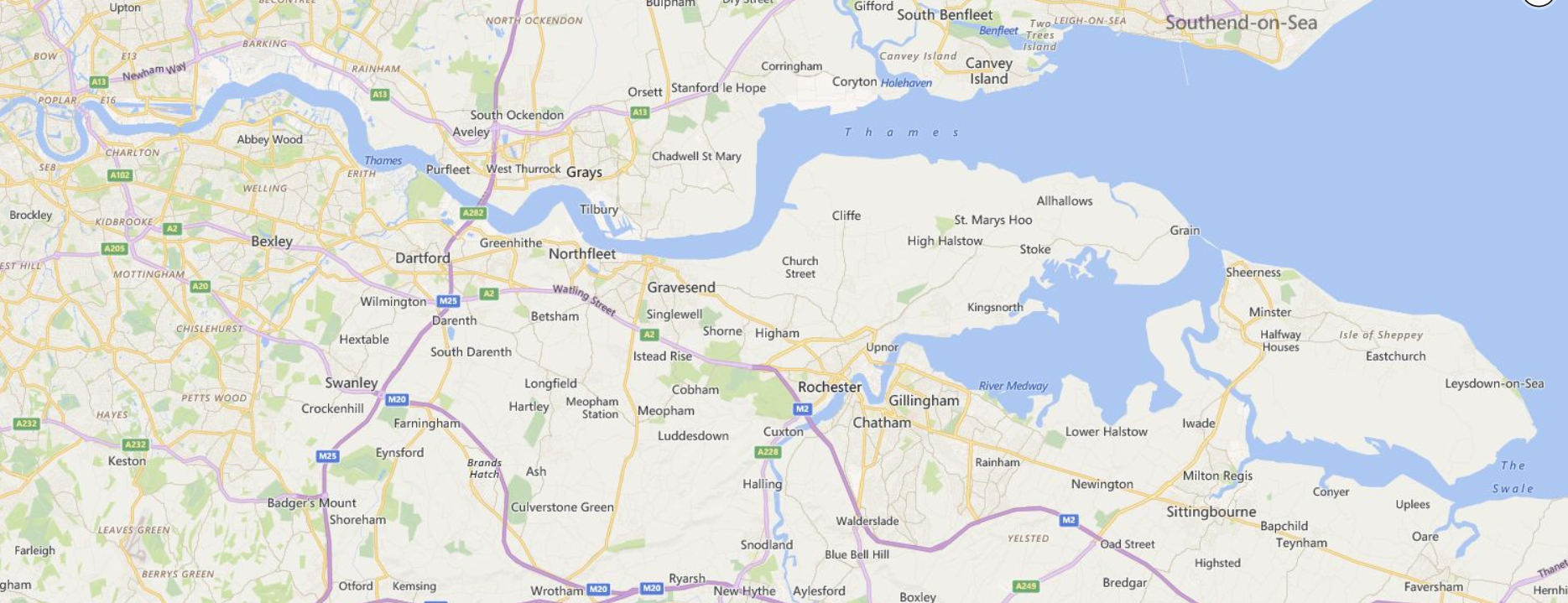
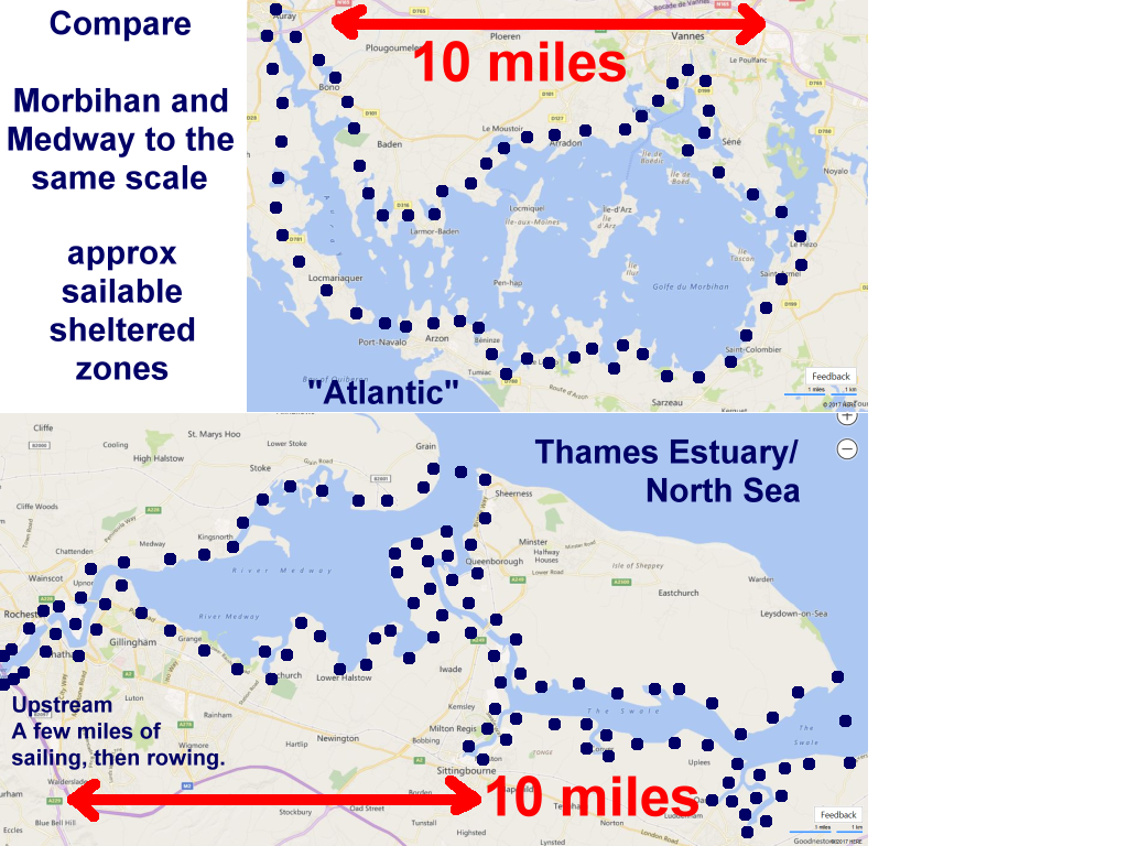
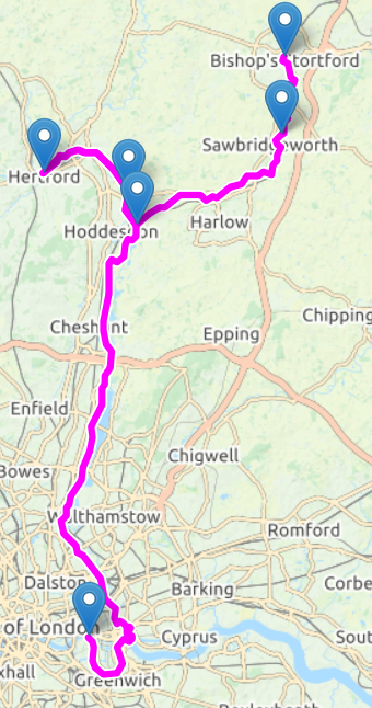
River Medway - Tonbridge to Upnor Saturday 14th & Sunday 15th October "The Garden of England" plus Maritime Heritage |
||
Click any picture to enlarge |
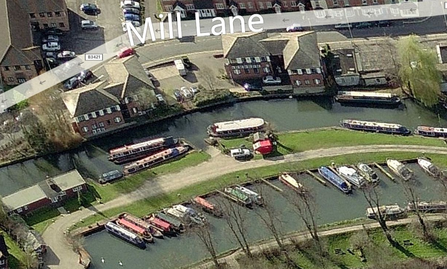
Day 1. Non-tidal 18 miles +9 Locks Few spaces remaining - Sign up (or out). Previous Long Rows here. |
Click maps to enlarge
Interactive map here |
|
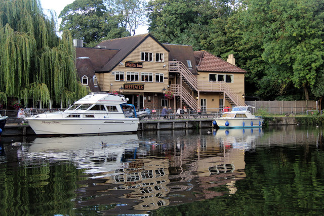
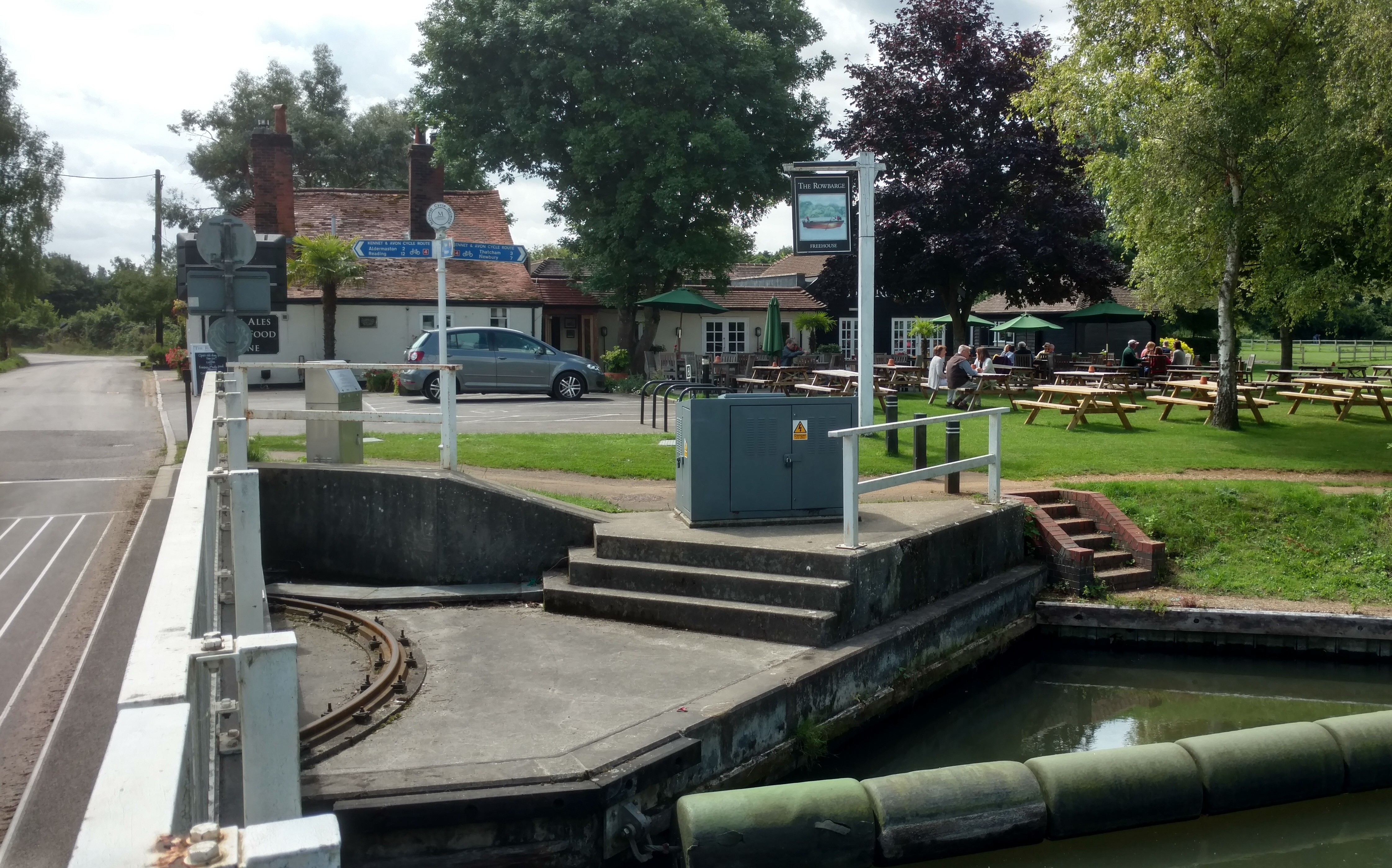
We have permission to use a mooring at Allington (click for pic) from 16:00 Saturday till 10:00 on Sunday courtesy of "Kentish Lady". |
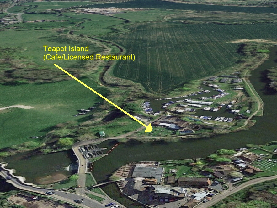
Car shuffling locations - For car shuffling timings, cars, passengers see SM's email of Sun 08/10/2017 15:09, (et seq). and "The Schedule" below. * Reduced headroom rail bridge - East Peckham - to be passed on Saturday -
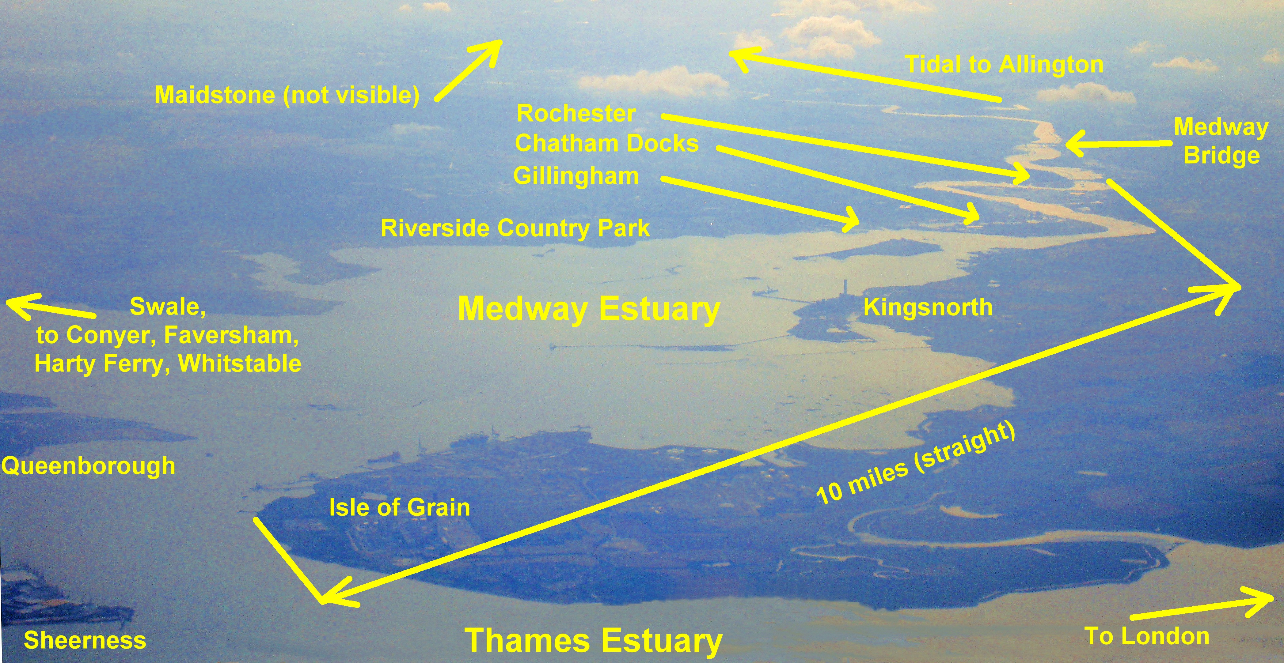
We've been in discussion with authorities. The Schedule - Friday 13th October - Skeleton Crew - see Car Shuffling above. Saturday 14th October - See Car Shuffling above. (Sunday crew could opt-in for Saturday night accommodation.) 09:30 meet at Hotel. Row from Allington Lock, to Upnor - Sheltered tidal 12 miles. With the ebb tide. 12:50-13:50. Sunday roast +R&R at Rochester Cruising Club. (Numbers & ETA agreed). Maybe visit Rochester Castle/Cathedral/Town, Historic Dockyards, Fort Amherst. 14:41 (< ETA - TBA) Arrive at Medway Yacht Club, Upnor. Slipway. Clubhouse. Bar. See Video. See Car Shuffling above. |
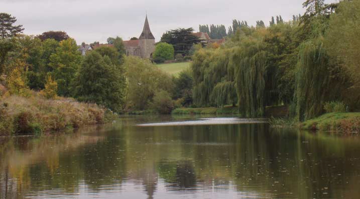
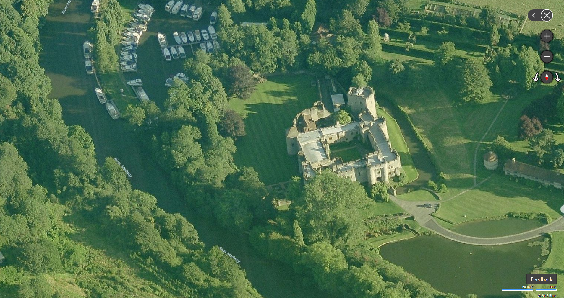
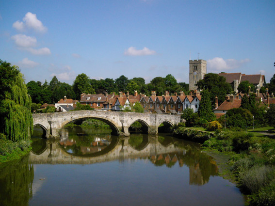 Aylesford |
|
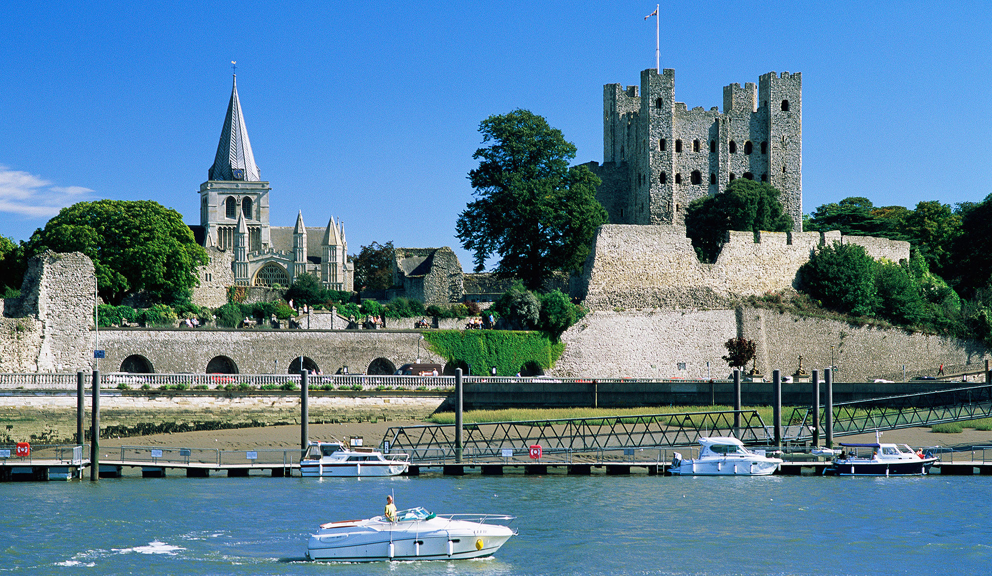 Rochester Castle. Sunday lunch stop at RCC. |
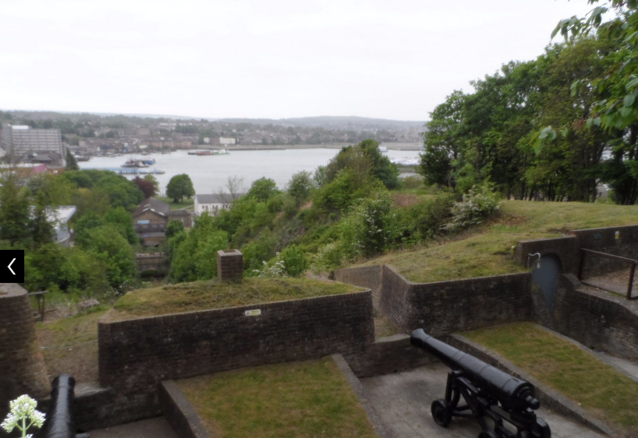 Fort Amherst |
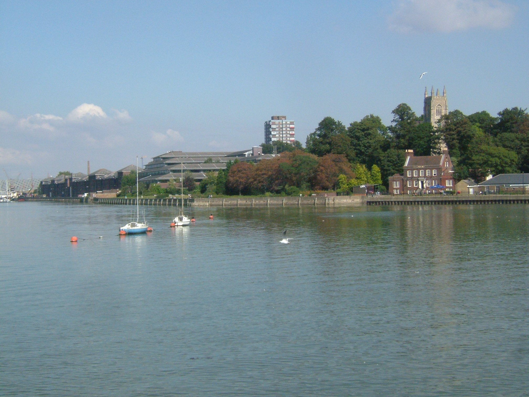 Chatham |
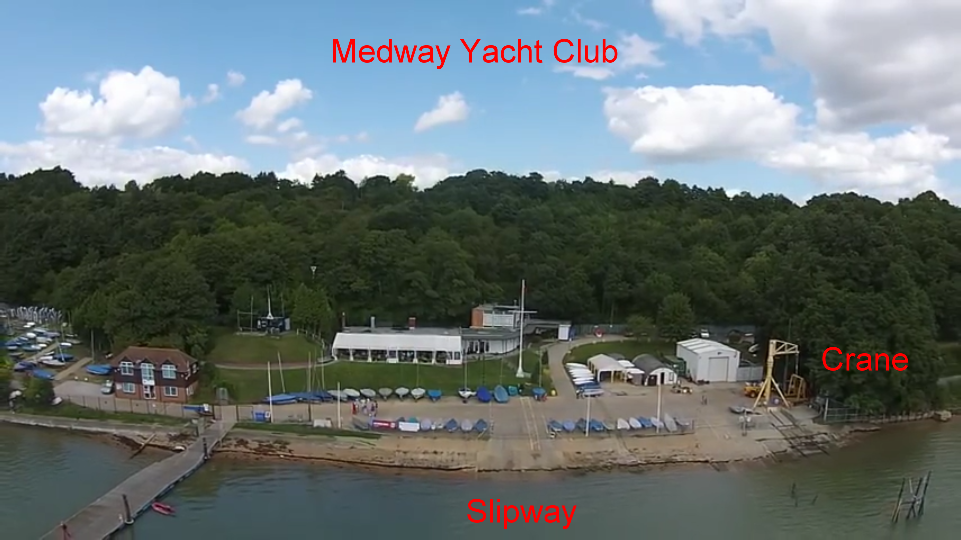 Medway YC (finish) Click any picture to enlarge Click here for Video. |
Technical stuff and Misc info sources:- (inc updates to 8/10/17) Weather forecasts (based on Maidstone) - Metcheck, TWO, YR, Met Office, TWC. NAVIGATION, etc Slipway - Top end - Slipway - EA Non-tidal-midway - near Hampstead Lock at 51.227063, 0.413820, 100 yd from Yalding station - Picture. Details on Boatlaunch . (Noted only as a back-up) Slipway - Bottom end:- |
|||
The rest of this page features |
DESCRIPTIONS NAVIGATION, etc - (Data being collected - PLEASE SEND ANY USEFUL LINKS.) (Canal Guide = Nope) - ("Waterways Routes" = nope) |
|
2018 would be the 351st anniversary of the Battle of the Medway (The Dutch inflicted one of the worst ever defeats on the British Navy) DESCRIPTIONS NAVIGATION, etc (Canal Guide = Nope)? - ("Waterways Routes" = nope) Slipways - Bottom end:- |
|
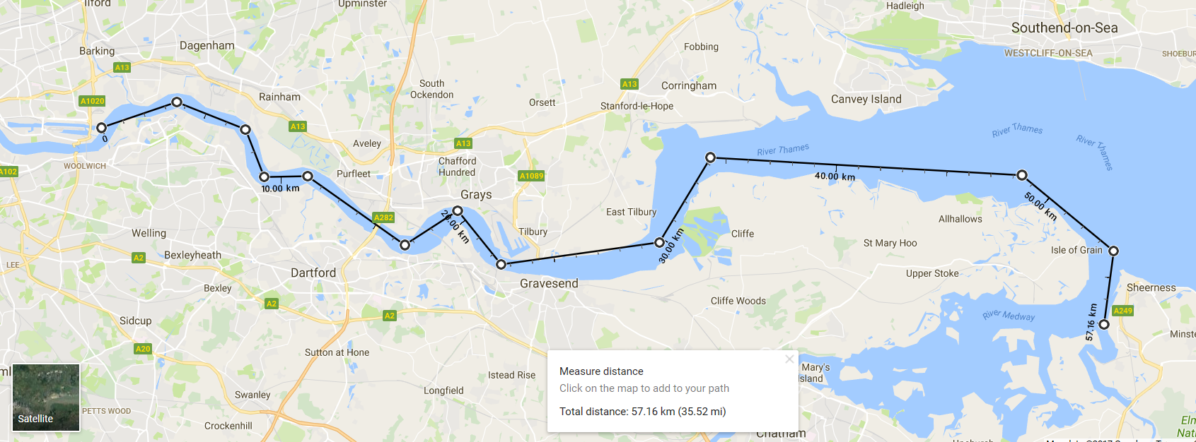
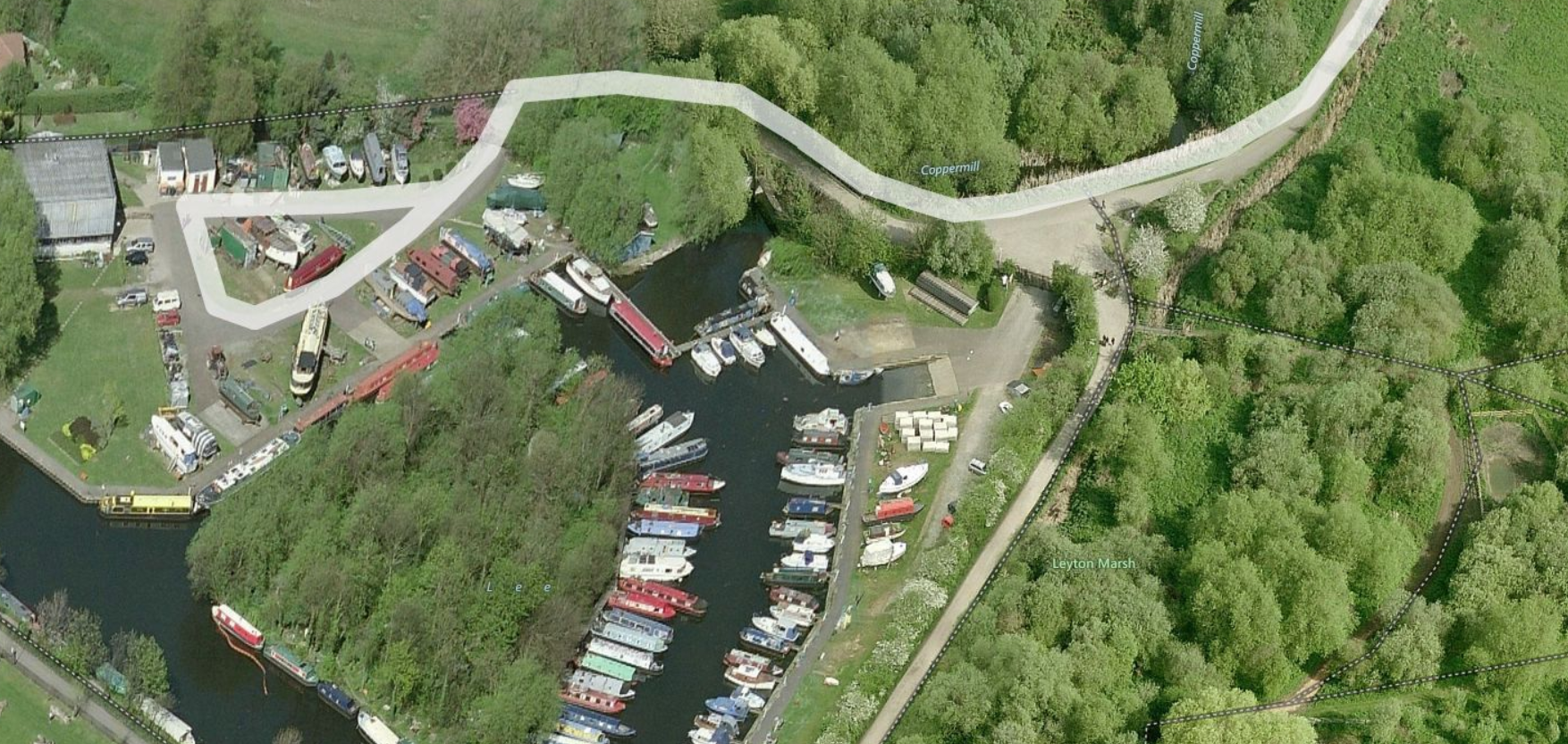
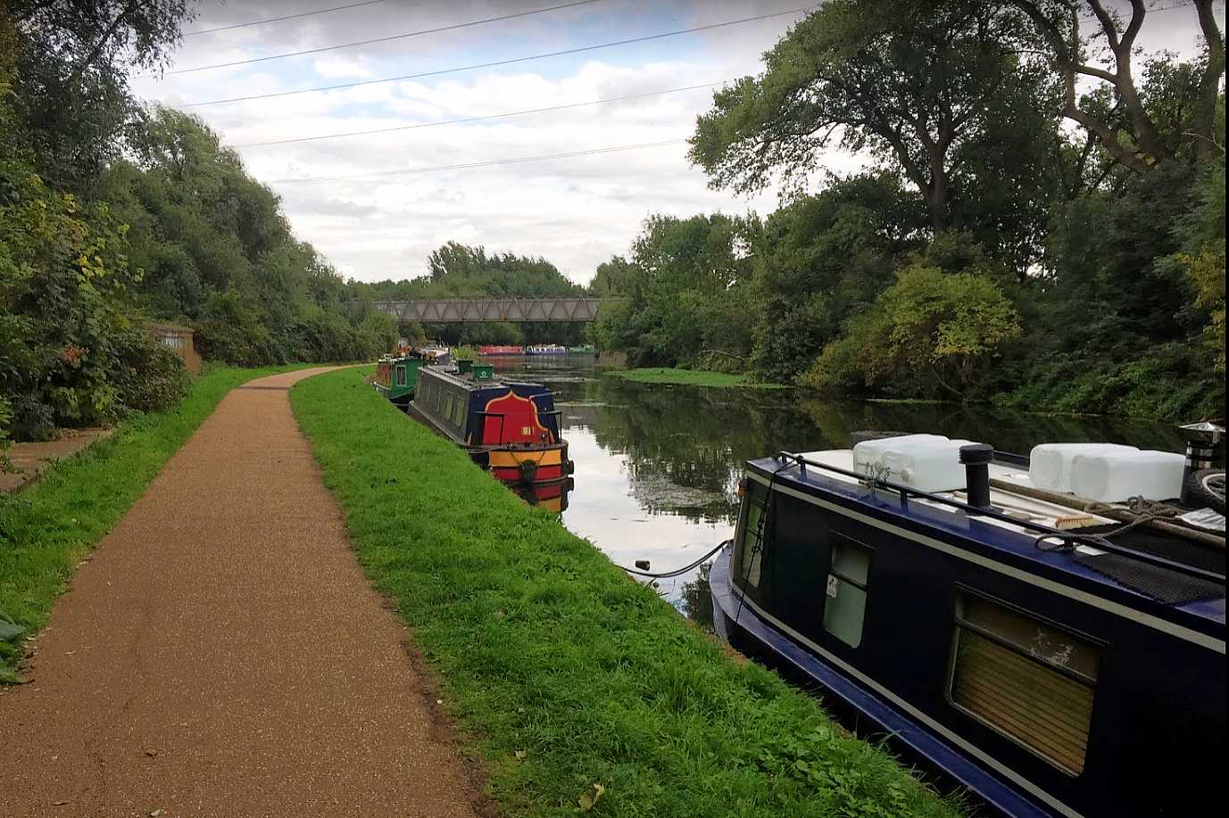
DESCRIPTIONS NAVIGATION, etc Slipways - Top end Bottom end - At Thames, need to consider - Tide height & direction. Possible slipways. Bob has kindly offered to do the on-site research for this region, and currently suggests:- 1. Friday PM: Launch at Lee Valley Marina (Stanstead Abbots) public slipway see Boatlaunch Both the above are shorter than our normal two day rows, but we’d need to add time to reach whatever slipway we finish at and possibly account for the tide. If Poplar Rowing Club, we could potentially choose to emerge at whichever of Limehouse or Bow gives us the best passage to the slipway for the state of the tide." |
|
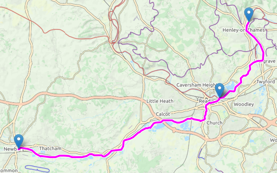
Possible Future Long Row - River Kennet (K&A Canal) and Thames - Newbury to Henley Provisional itinerary:- Misc info sources and technical stuff:- Slipway - |
|
| General Information. Boatlaunch . Use the map to find slipway then details. River & Canal Licensing - A list of authorities. Canal Guide.co.uk - Online guides to many UK canals & canalised rivers... Canal Plan.org.uk - Maps of many waterways. Jim Shead Waterways . Distances. Details, Pictures (loads). Links. Interactive map. Waterway Routes.co.uk . A source of cruising maps to buy. |
|
|