Henley Whalers - Annual Long Row - 2018
Version 20/10/18
Please re-visit periodically for updates.
To open in a new page click here .

Henley Whalers - Annual Long Row - 2018 | Version 20/10/18 |
|
 |
Long Row 2018 .
Date Possible Future Events:- |
|
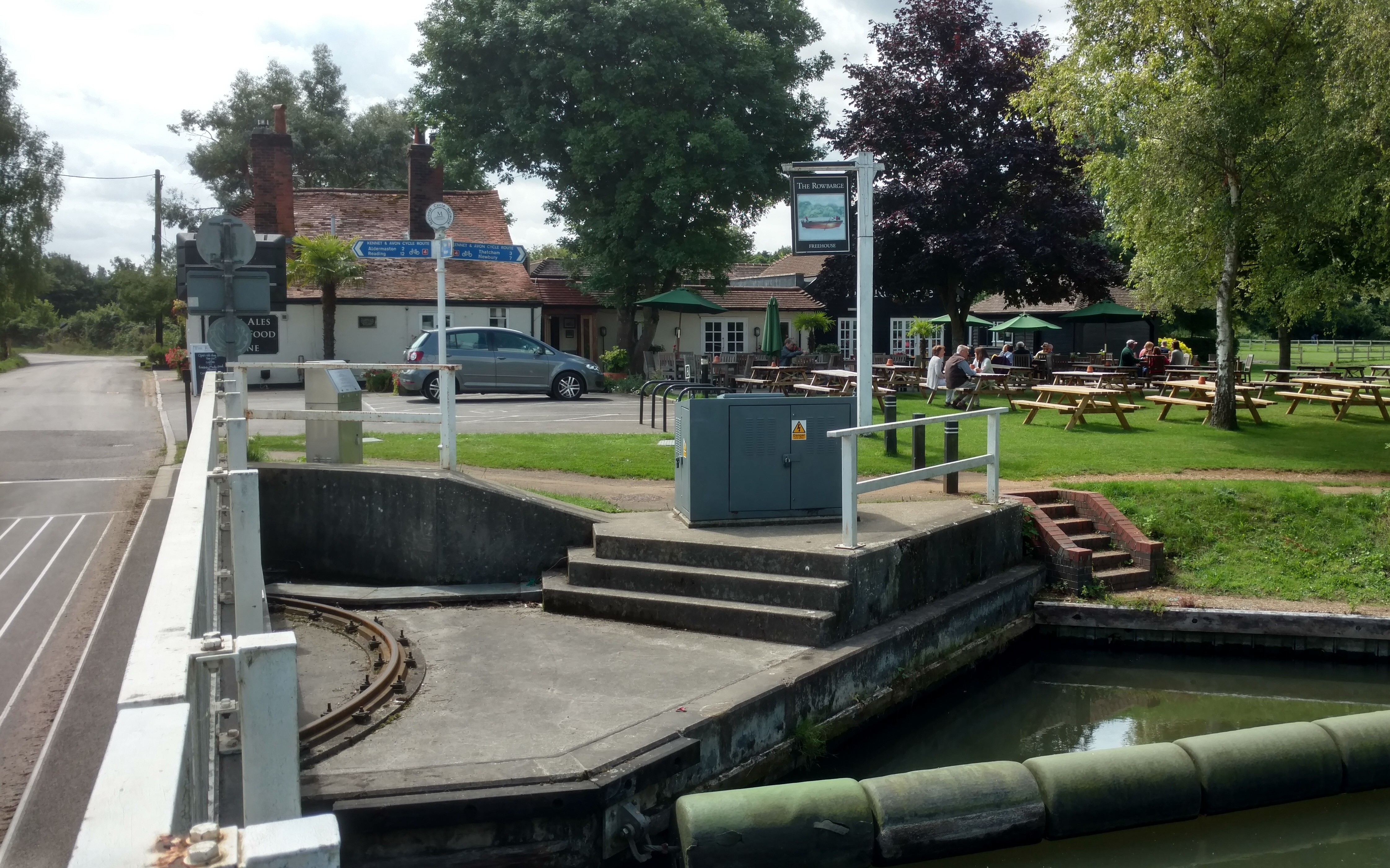
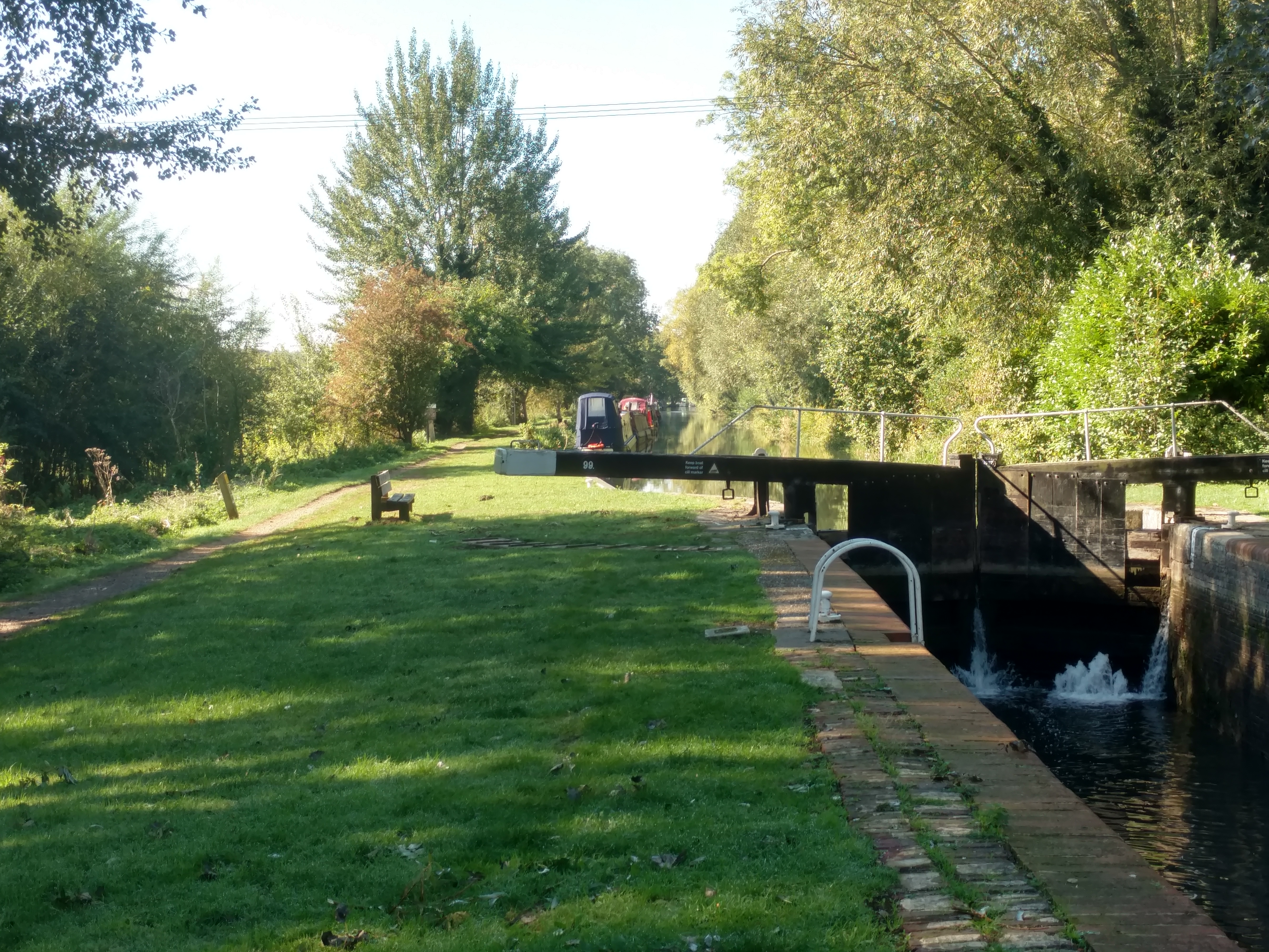
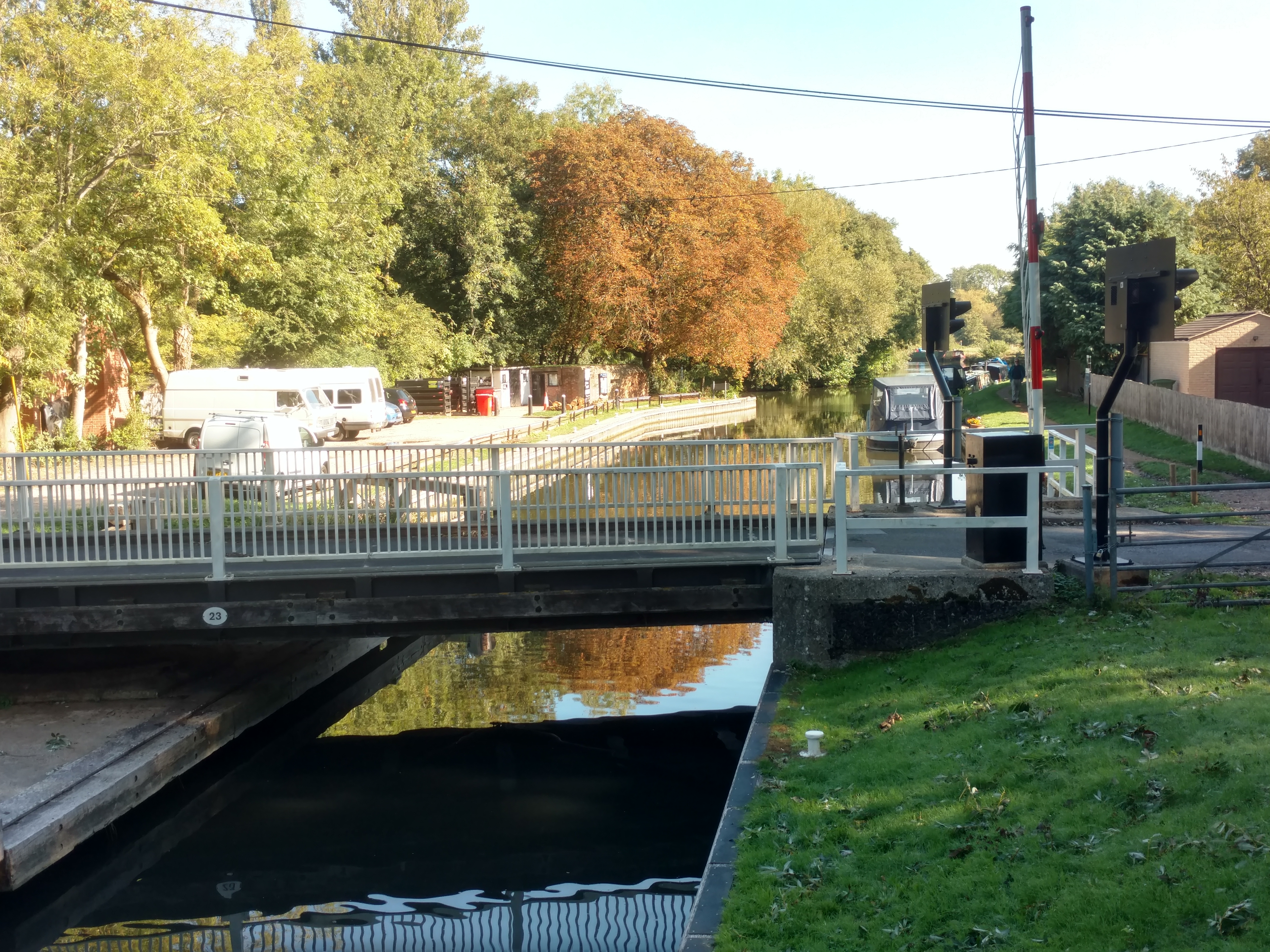
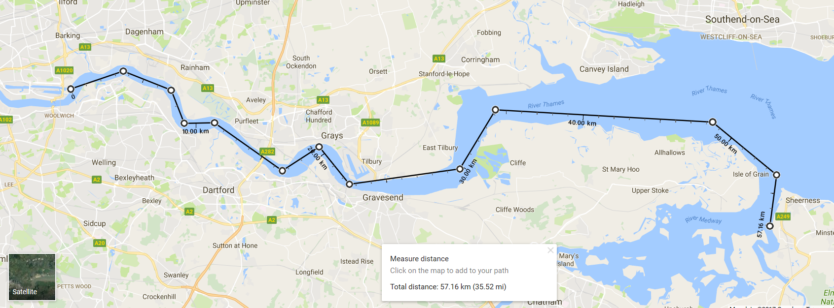
Date - October 20th & 21st (& Fri 19th) Newbury, River Kennet to Reading, then Thames to Henley, UTRC. Previous Long Rows here. |
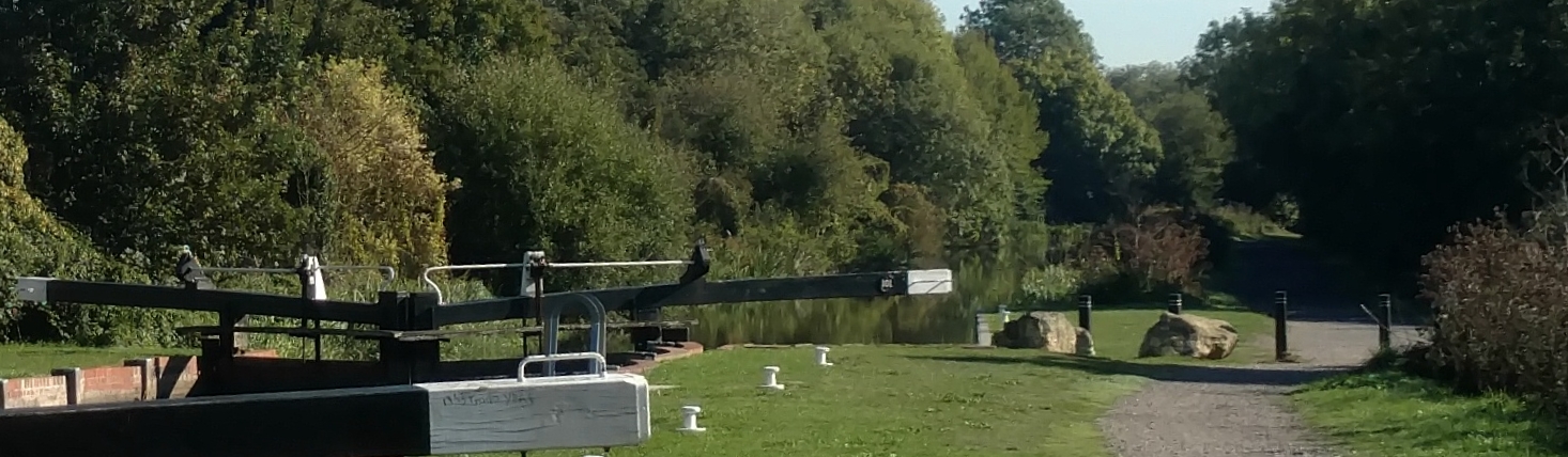
 Above Sheffield Lock |
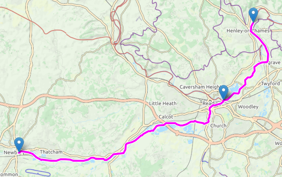 Map - Newbury to Henley |
Crew numbers More than 12 crew can sign up. 13, 14 or even 15. The CBS awaits your confirmation. |
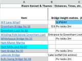 Distances, Times & Alerts Opens in XL (updated 17/10, 00:30) |
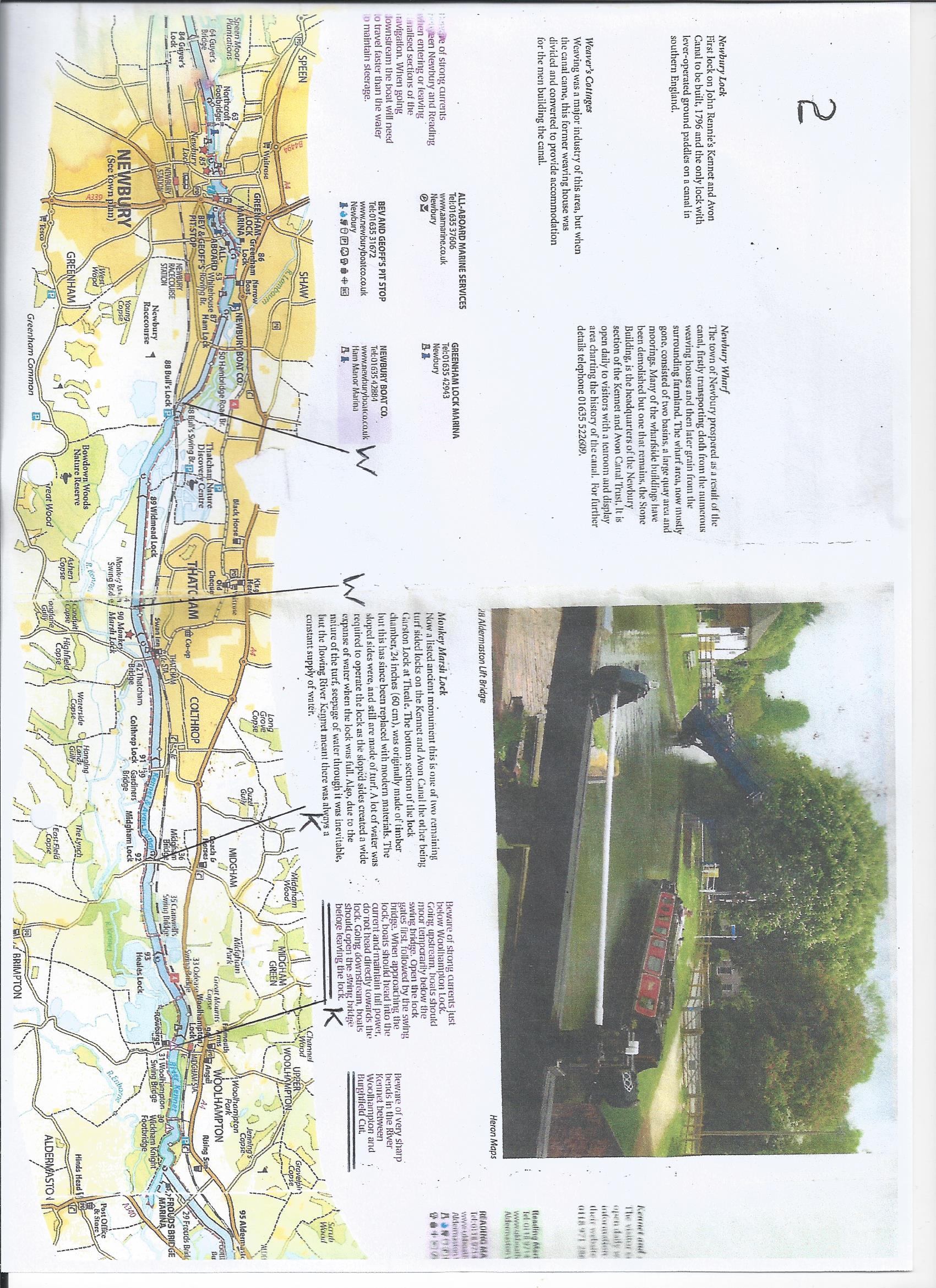 Map Newbury./.Aldermaston |
Subscription Friday no charge. CLOSURES, RIVER LEVELS, ETC - CHECK "Last minute". |
Map Aldermaston./.Reading 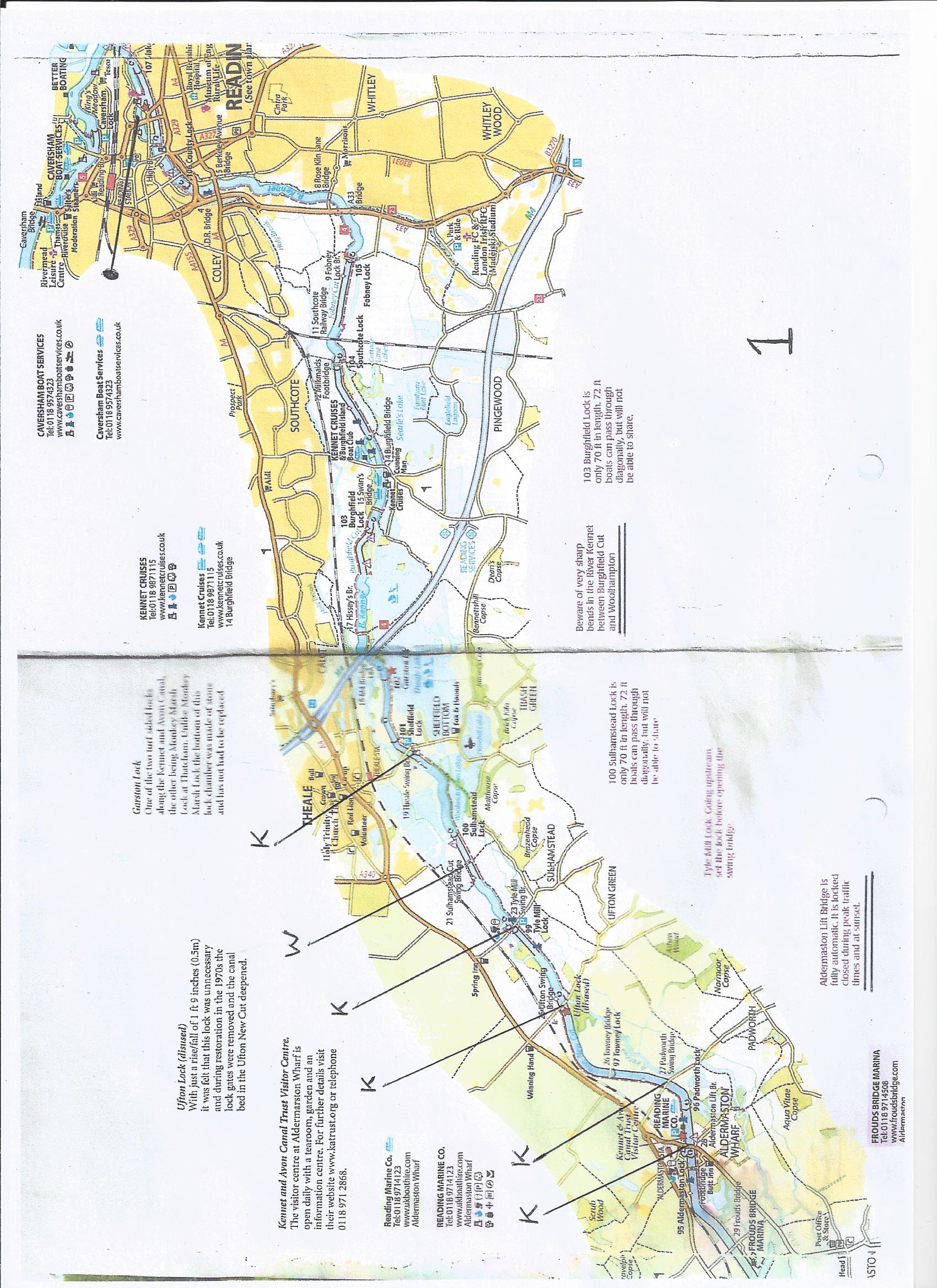 |
|
| ITINERARY | .Back to Top | |
FRIDAY 19th Oct Optional possibility = Upstream exploration. [See G-map] |
||
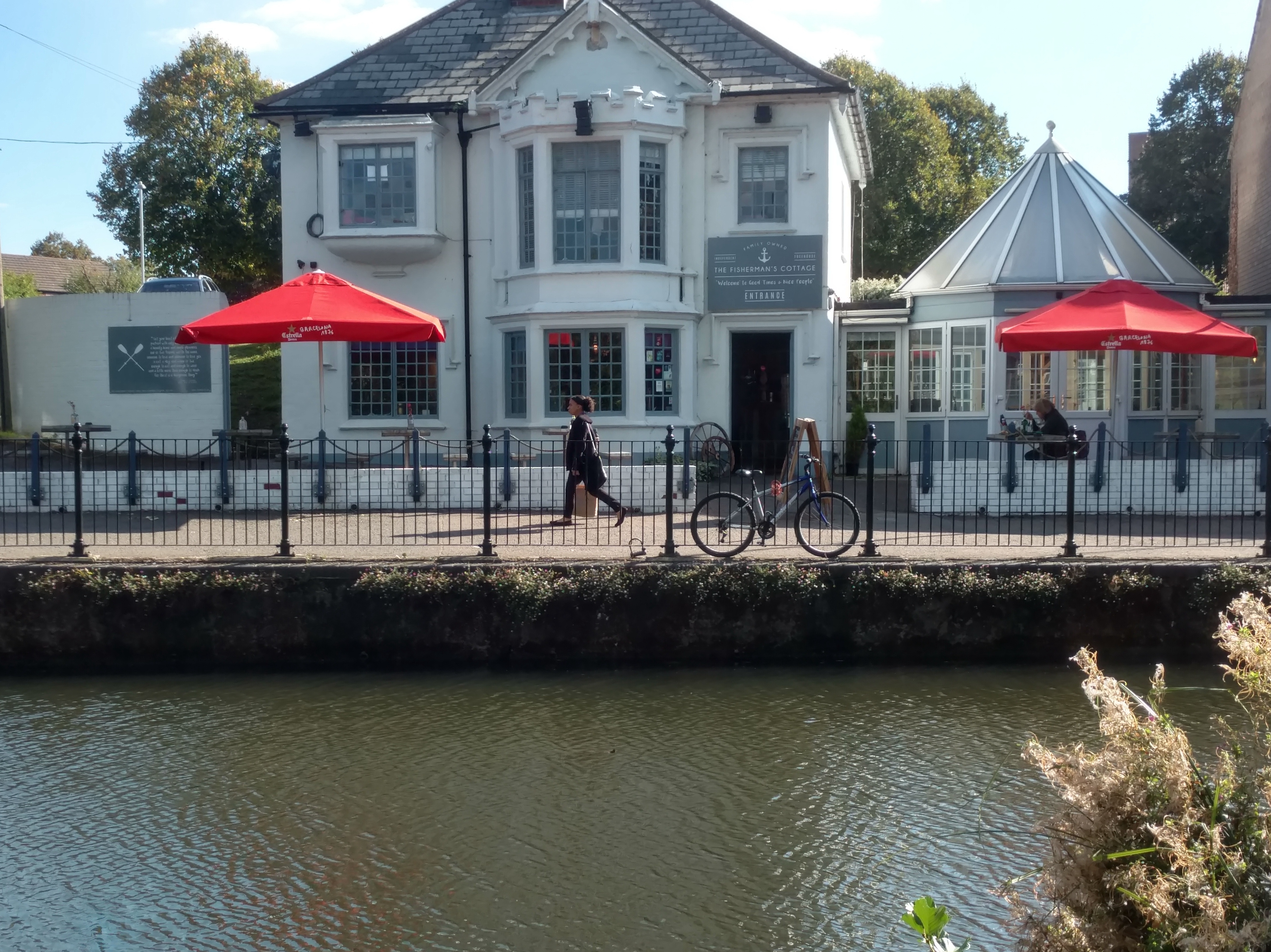
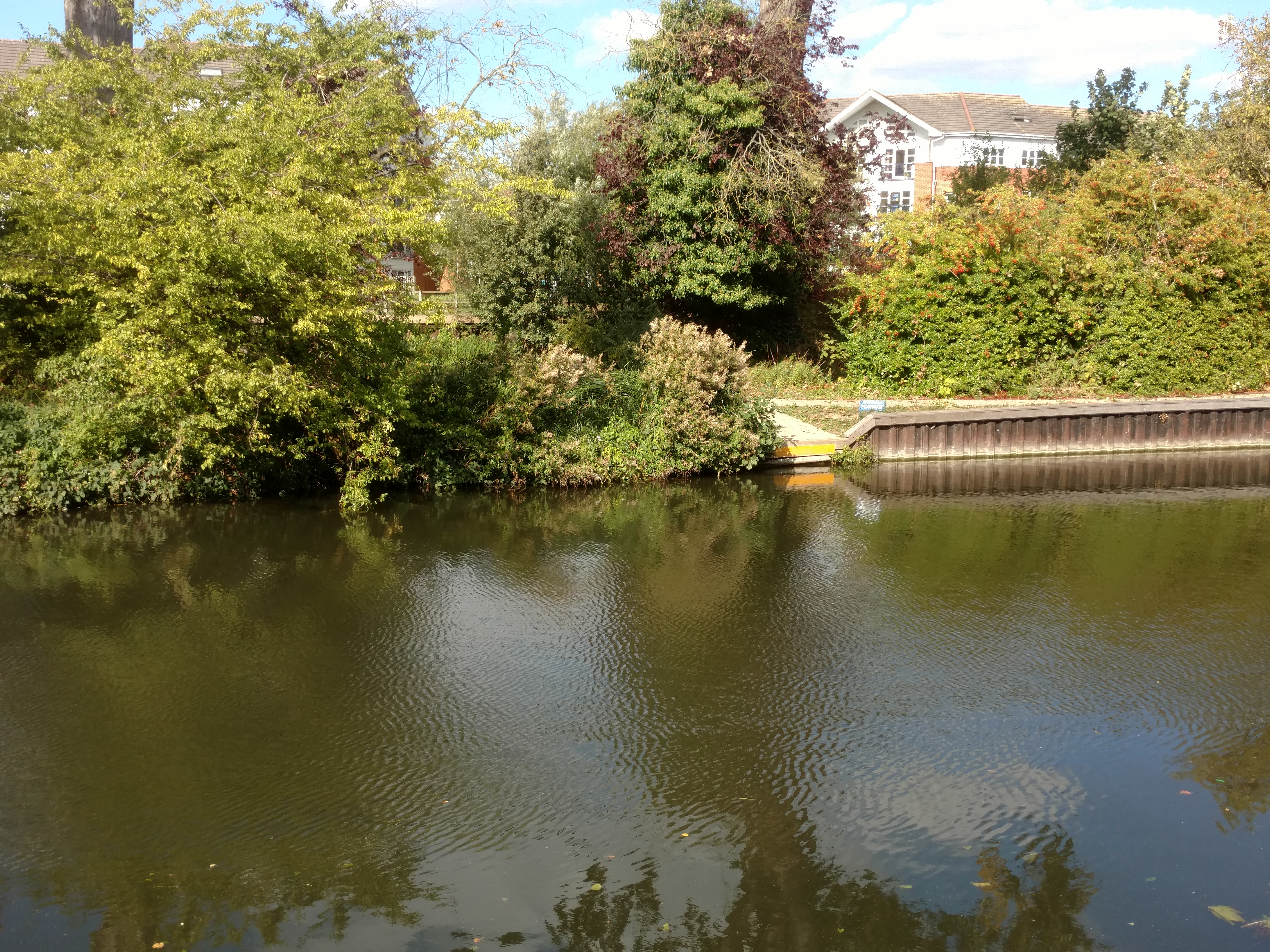
SATURDAY 20th Oct Cast off at 09:30. - Row from Newbury - Location - [G-map] - Saturday Lunch stop Saturday Night mooring (Alternative, but less secure location - 7 hrs from start - Near Theale Swing Bridge - [G-map] - "Fox & Hounds" 700 metres south. Station 700 metres north.) Collect cars from Newbury. |
|
|
SUNDAY 21st Oct Cast off at 09:30. - Row from night mooring (see above). Sunday Lunch stop Car Access - Pub car park at 51.455514, -0.955186. Off Canal Way. Sunday Night mooring Collect cars from Tyle Mill, Sunday pm or Monday. |
|
|
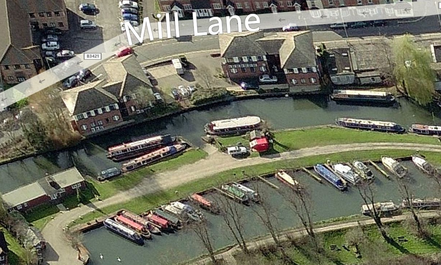
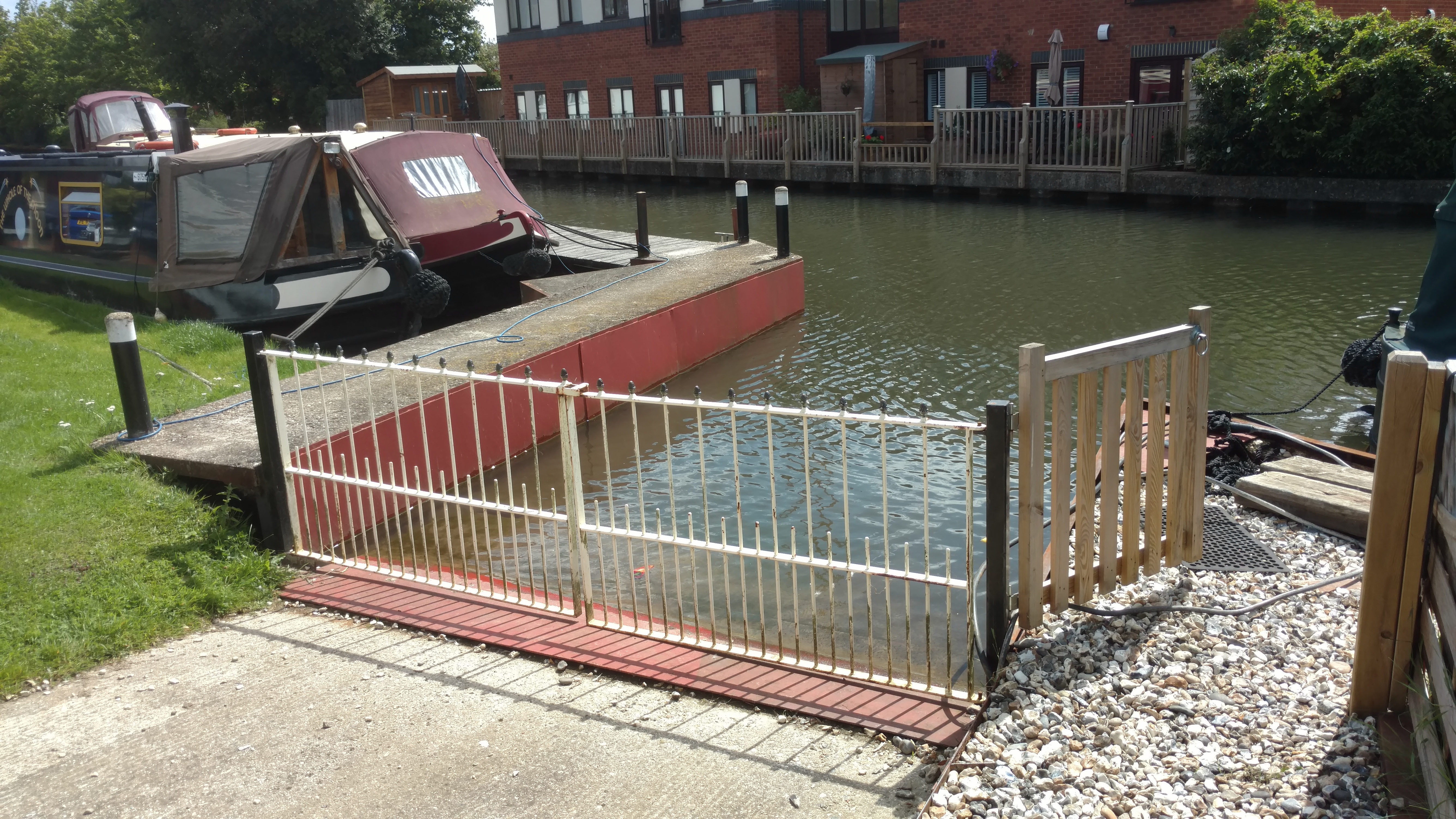
CAR SHUFFLING - CREW / CARS Saturday - Plan un-changed except two "SM"s now disambiguated. +Includes GP's input. Sunday - Plan Un-changed, but RP morning only. RP & AK simply swap roles. - +1 other to leave - Public transport maybe? Evening - On arrival at Marsh Lock. - All Drivers go to car (a) in Mill Lane. Newbury – Greenham Mill (road). – This is to avoid more than 2 cars parking at the marina. Newbury - Slipway - Marina - Maximum 2 cars. Tyle Mill Lock (Night-stop, Saturday) - Access. West of Theale. Turn off A4 Bath Rd at "The Spring Inn" 51.422556, -1.105305, RG7 5HP, signposted Sulhampstead. Go over rail bridge and two river bridges. 50 metres, turn right into parking at 51.418545, -1.099945. RG7 4BS. [G-map]. Theale (Alternative, less secure night-stop) - Access. In Theale follow signs toward the rail station. On Station Rd, go over the rail bridge. Go over 3 river bridges. Parking on hard verge either side of road at 51.429393, -1.070165, RG7 4AJ. Also car park on left but beware "Closes At Dusk". [G-map] Henley, Mill Lane Car Park – This is to save time at the end of the day. - Access from Reading Rd, Henley. Car park is beyond the rail bridge and on the left. RG9 4HG. 51.528798, -0.890786. [G-map]. |
|
|
Misc info sources and technical stuff:- NAVIGATION, etc Weather forecasts (based on Reading) - "Dark Sky". TWO . Metcheck, YR, Met Office, TWC.. Slipway - Top end - Other sources:- |
.Back to Top | |
The rest of this page features |
DESCRIPTIONS NAVIGATION, etc - (Data being collected - PLEASE SEND ANY USEFUL LINKS.) (Canal Guide = Nope) - ("Waterways Routes" = nope) |
|
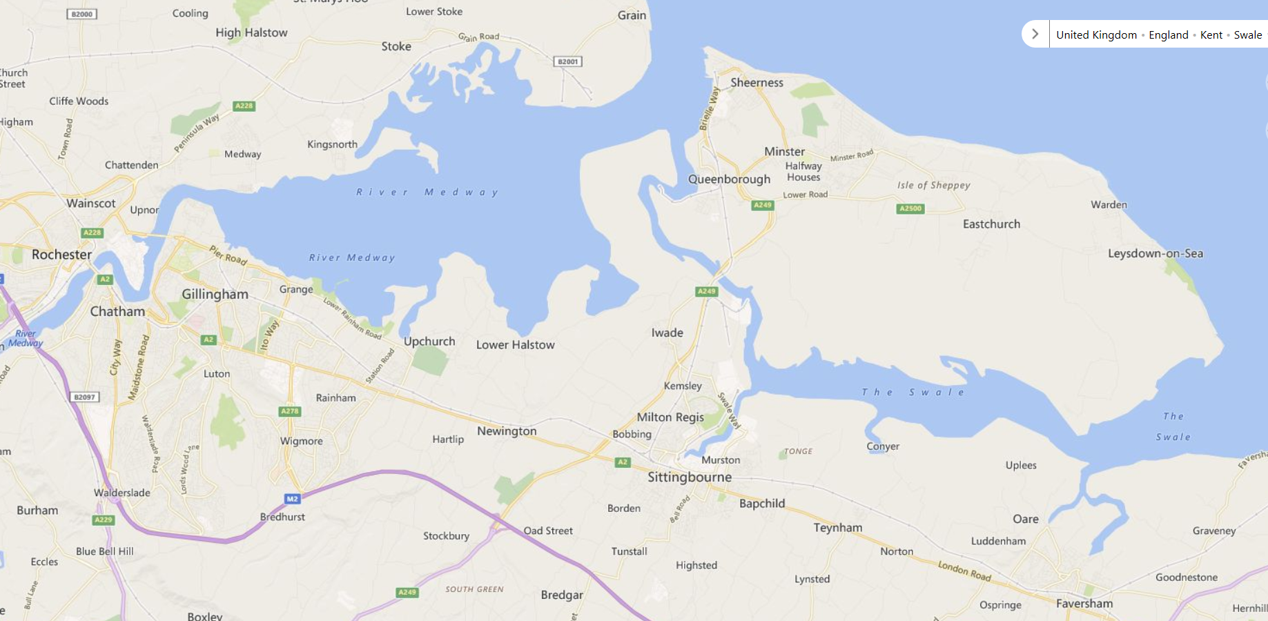
2018 would be the 351st anniversary of the Battle of the Medway (The Dutch inflicted one of the worst ever defeats on the British Navy) DESCRIPTIONS NAVIGATION, etc (Canal Guide = Nope)? - ("Waterways Routes" = nope) Slipways - Bottom end:- ACCOMMODATION:- |
|
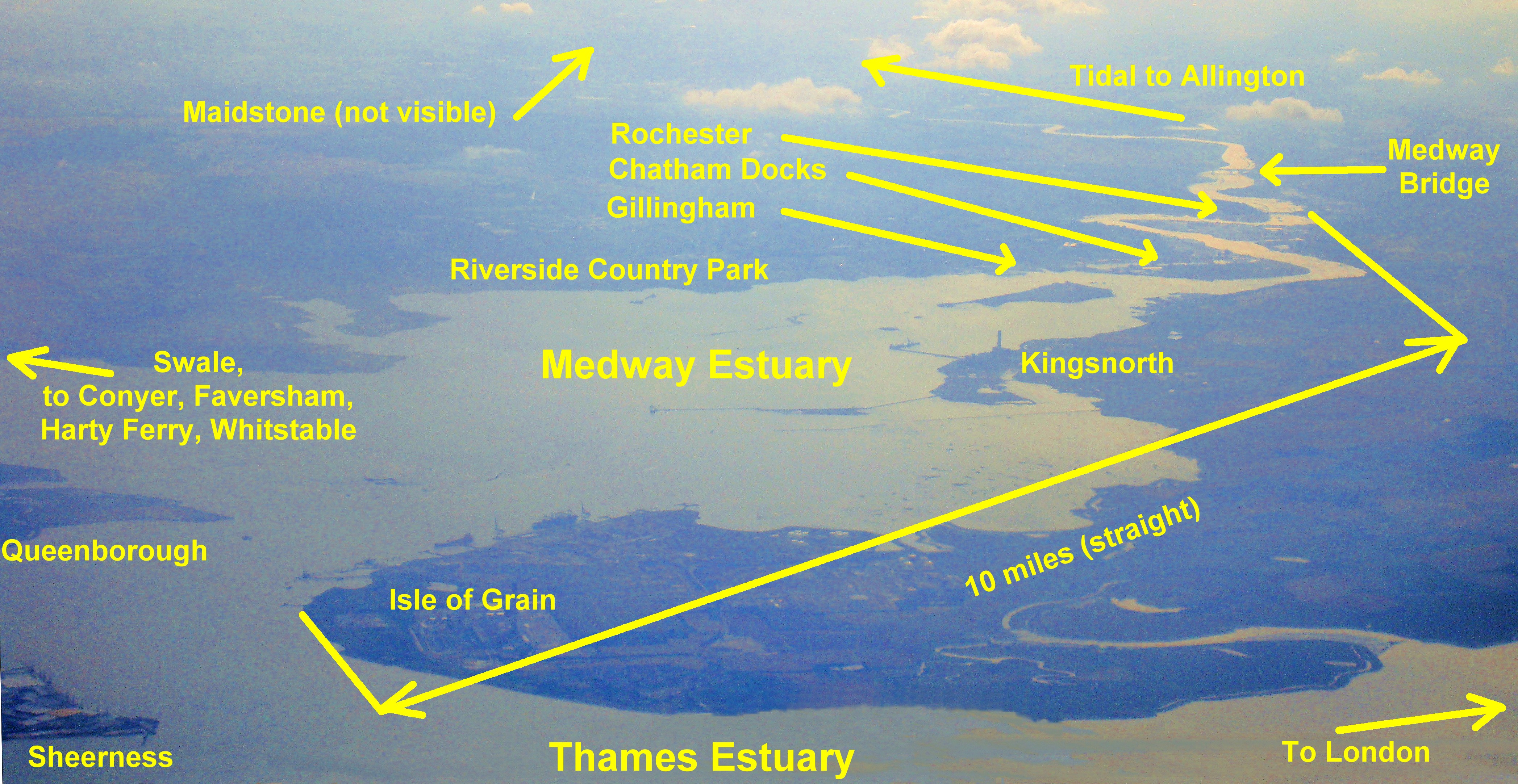
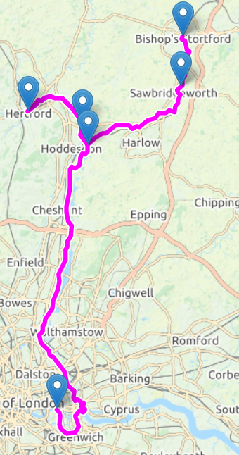
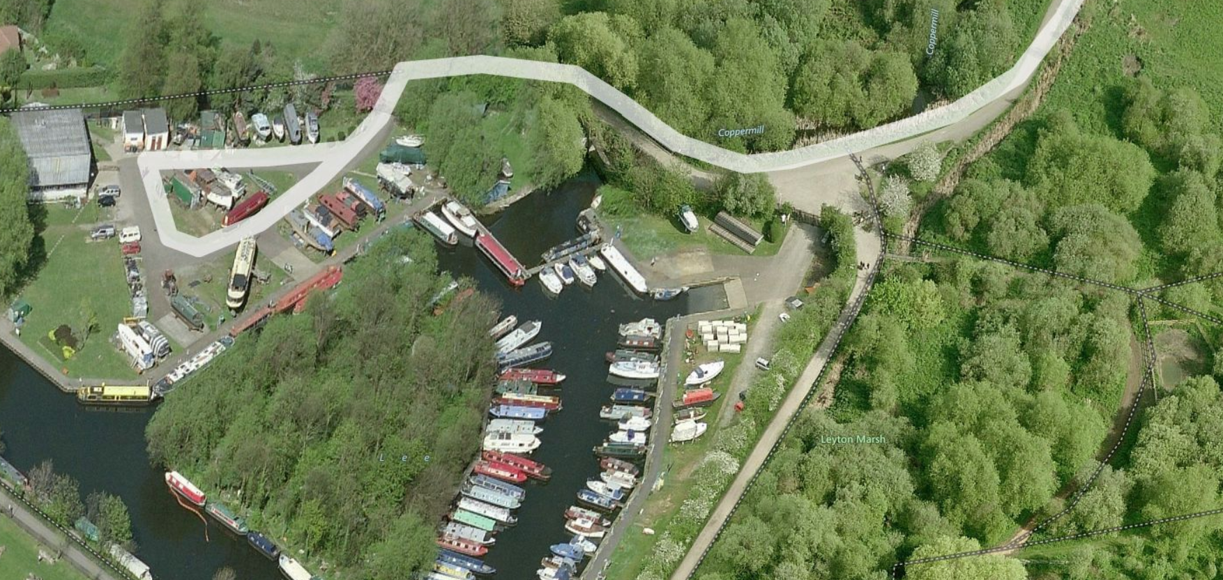
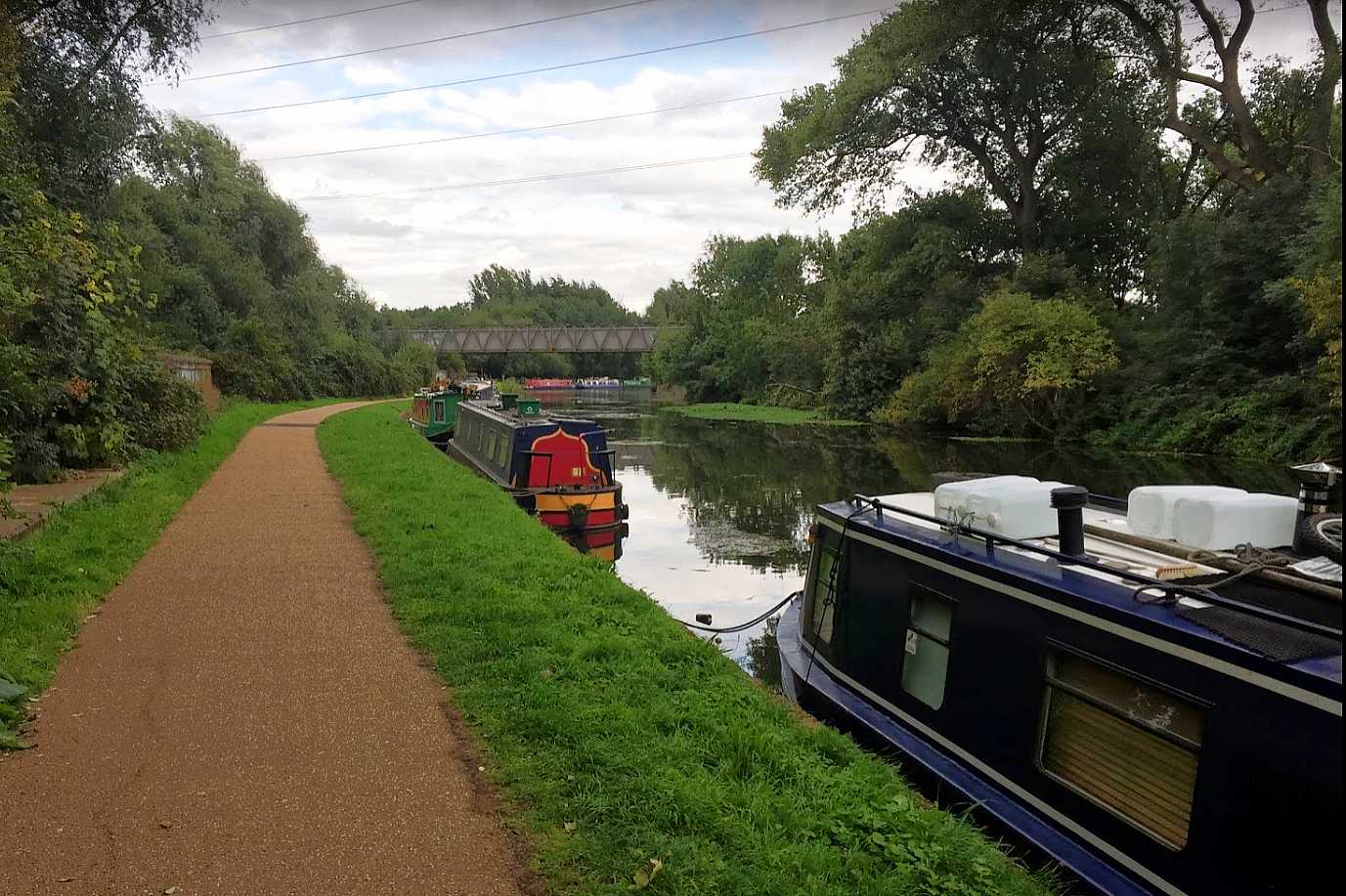
DESCRIPTIONS NAVIGATION, etc Slipways - Top end Bottom end - At Thames, need to consider - Tide height & direction. Possible slipways. Bob has kindly offered to do the on-site research for this region, and currently suggests:- 1. Friday PM: Launch at Lee Valley Marina (Stanstead Abbots) public slipway see Boatlaunch Both the above are shorter than our normal two day rows, but we’d need to add time to reach whatever slipway we finish at and possibly account for the tide. If Poplar Rowing Club, we could potentially choose to emerge at whichever of Limehouse or Bow gives us the best passage to the slipway for the state of the tide." |
|
| General Information. Boatlaunch . Use the map to find slipway then details. River & Canal Licensing - A list of authorities. Canal Guide.co.uk - Online guides to many UK canals & canalised rivers... Canal Plan.org.uk - Maps of many waterways. Jim Shead Waterways . Distances. Details, Pictures (loads). Links. Interactive map. Waterway Routes.co.uk . A source of cruising maps to buy. |
|
|